

LiDAR Surveying
Geospatial Services
Advanced remote sensing using pulsed laser light to generate hyper-accurate 3D point clouds.
LiDAR measures distance with pulsed laser light. Millions of measurements combine into a hyper-accurate 3D point cloud of the terrain and structures on your site.
Because Zaafi also designs, fabricates and builds, survey data flows straight into engineering and construction — one accountable partner from survey to handover.
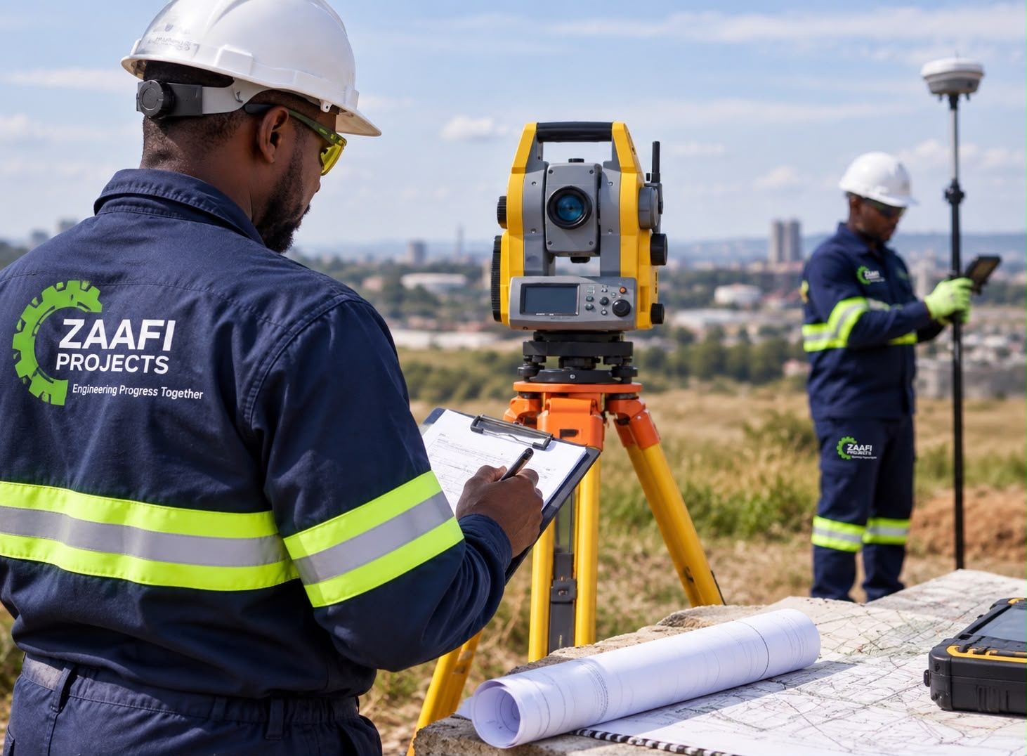
Deliverables include:
- High-density 3D point clouds
- Topographic & terrain mapping
- Construction setting-out
- As-built surveys
- Earthworks & volumetric calculations
- Infrastructure monitoring
Survey → Engineering Design → Construction → As-Built
Survey
LiDAR capture of the site produces a dense, geo-referenced 3D point cloud of existing conditions.
Engineering Design
Terrain models and accurate existing-condition data feed directly into design and quantities.
Construction
Construction setting-out and progress surveys keep work aligned with the design.
As-Built
As-built surveys verify what was built and provide a record for operations and maintenance.
Planning a survey? Talk to our LiDAR team.
Mapping, setting-out, as-built or volumetric surveys — tell us about your site.
Contact Us